Route 66: Day Five
That first night being by myself was kind of weird. It was nice to have the time to be alone and gather my thoughts and to let my choice to make this trip and move to Nashville sink in more. Cell phone service was dismal, but wi-fi was good enough that I could watch the "Cars" movie — fitting since there were so many references in that movie to Route 66.
Day five was a more designated relaxing day. And I needed it. Apart from the lack of sleep that I had gotten before going on the trip in trying to spend as much time with friends and family and getting all the projects I wanted to finished, as I think you've caught on — the driving was tiring. I was so thankful for this particular Sunday, the Sabbath Day, to have the time to rest. I was able to find a church near Holbrook and then started driving on to Albuquerque.
It was fun to see that — what felt like — in the middle of nowhere Holbrook, that looked like it had one grocery store and a lot of run down buildings, that amidst that there was a beautiful LDS church building with a massive organ that looked out on top of a hill over the land below.
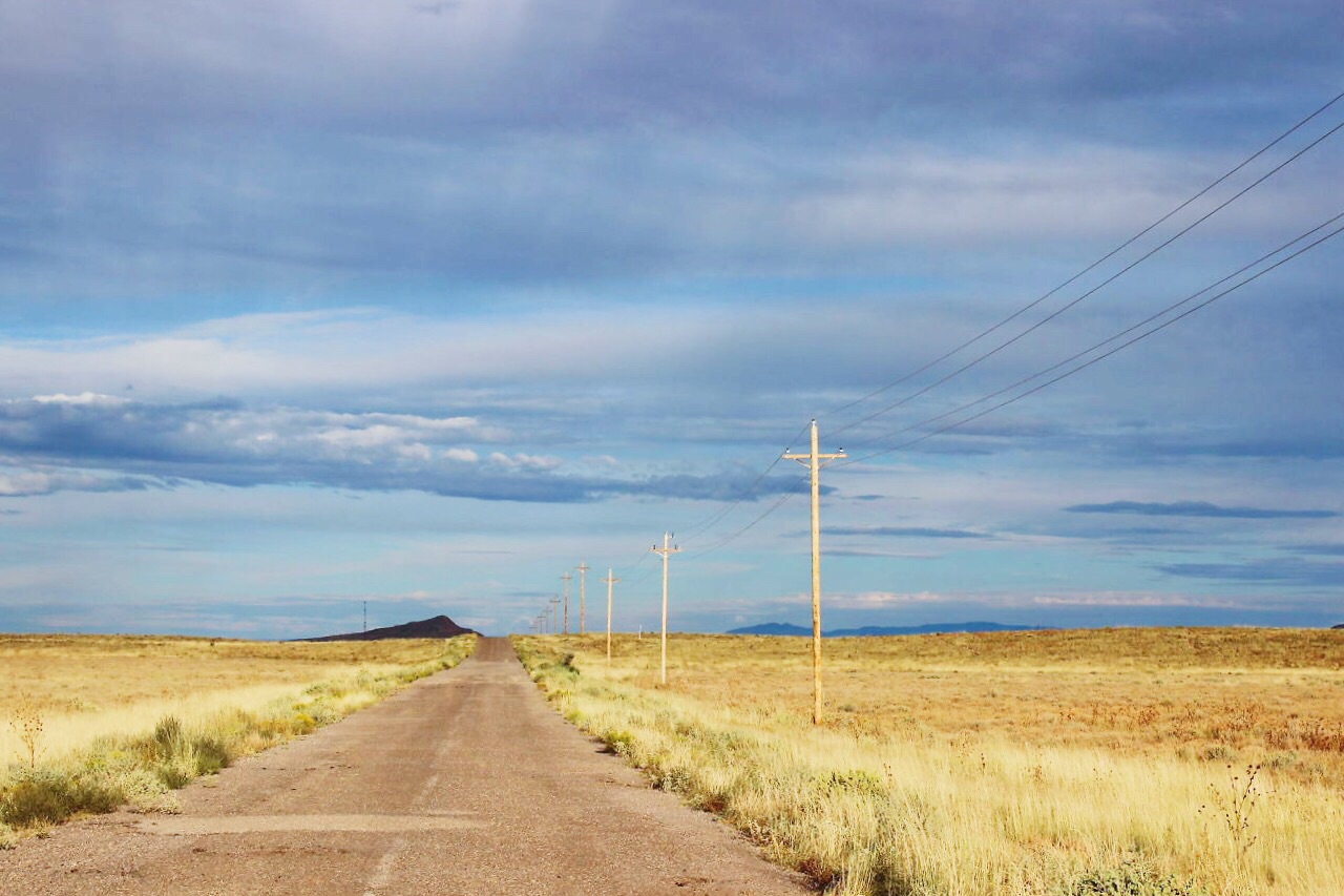
I had more plans to stop at various places along the way to Albuquerque but the time jump ahead one hour threw me off and my detours onto the actual Route 66 where possible became a not-so-good choice when the road turned into a speed-bumpy road that I couldn't go more than 5-7 MPH on. It extended the time a lot.
Day five {projected*} itinerary:
Petrified Forest National Park {Arizona}
Indian Kachina Statue {Gallup, NM}
Continental Divide {Continental Divide, NM}
El Morro National Monument {Ramah, NM}
Ice Cave & Bandera Volcano {Grants, NM}
El Mapais National Monument {Grants, NM}
end in Albuquerque, NM
*Did not originally make it to El Morro National Monument, Ice Cave & Bandera Volcano, or El Mapais National Monument so it's not included in the mileage, or drive time but I was able to go to the Ice Cave & Bandera Volcano with Matt, so that's included as a "bonus" at the end.
Approximate mileage: 239
Approximate driving time: 3.5 hours
Approximate expenses: $0 (seriously, nothing)
See below for trip details and photos...


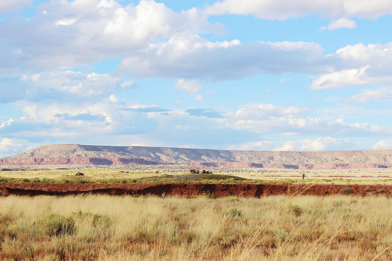

After church I started going to Gallup. I basically went straight there. I stopped at the Petrified Forest National Park but I was really unmotivated to see or do anything. So after skipping over the forest I kept going to Gallup.
I could tell the difference as soon as I crossed into New Mexico because rock formations started to appear. It was interesting to go from state to state and see the land as it was divided by nature rather than by state lines.


When I got to Gallup, I followed the sign that said "Historic Route 66". I was looking for the Indian Kachina Statue that was supposed to welcome travelers as well as the neon signs.
After driving around for about thirty minutes I realized Route 66 goes across the highway and the old historic district with the neon signs is the street in and parallel to Route 66. After finally finding the Indian Kachina Statue, and realizing that I had time traveled an hour forward, I started to get scared I wouldn't make it to the ice cave and volcano. Turns out, I wouldn't.
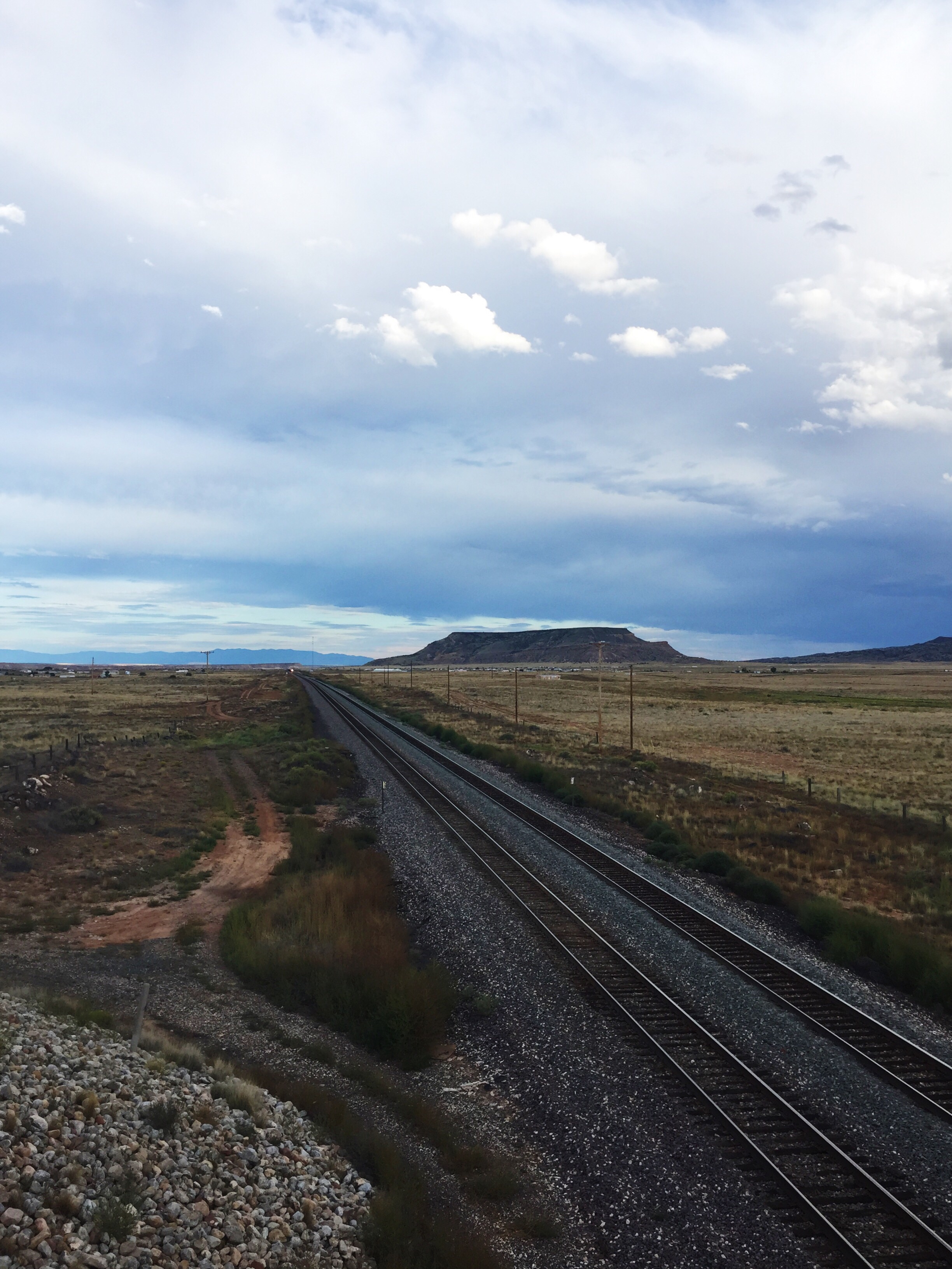
But instead I came to a train crossing. I sat there for 20 minutes watching as the train stayed still, then went forward, then reversed. I thought this was a good time to enjoy waiting, to be patient. That thought process didn't last long. Finally I turned around on the one way street and got the heck out of there.
And then I realized it was almost 5pm and I wouldn't make the ice cave volcano or anything else off route, so I decided to go straight to Albuquerque.


There were signs along highway 40 that would indicate Route 66 off a certain exit. Most of the time, I'd get off the exit and have no idea where Route 66 was. One exit led me to the "Continental Divide" which wasn't on my trip plan, but was a neat location where rain water went different directions to the Pacific and the Atlantic. It wasn't a super friendly, touristy welcome stop with "no trespassing" and "no parking" signs.
I was glad to make it to Albuquerque and to see some familiar faces — my mom's friend and her husband, Nancy and John, that I'd be staying with for two nights, and Krystal who just arrived that night at the Albuquerque airport! Not only that, but the next day was a no-driving day, meaning we were able to relax, sleep-in and really explore some Albuquerque highlights.
Bonus: Ice Cave & Bandera Volcano


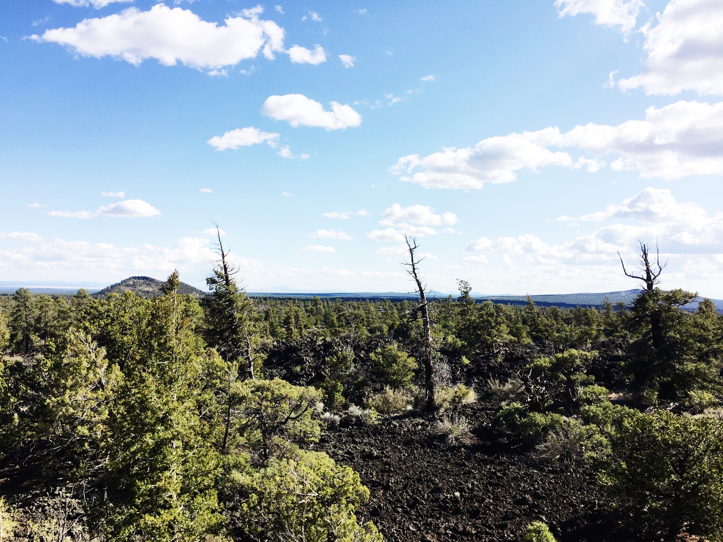


You go off the highway about 30 minutes or so, and go through the entrance to the Ice Cave and Bandera Volcano. After paying $12 entry, you can go on a 1/4 mile walk to the Ice Cave. There's a little guide that they give you and markers along the trail that teaches you more about the environment.
The Ice Cave is part of a collapsed lava tube and the temperature never rises above 31 degrees Fahrenheit. Walking down a set of stairs, it's like you walk right into a refrigerator. It's chilly and just packed with a lot of ice. It's a weird thing to realize how deep the ice goes — 21 feet deep – and that it's been there for so long.
You make your way back along the path to the trading post and go on another 1/2 mile walk (a little steeper and felt so long, but that might be because we were hungry and slacking) up to the Bandera Volcano. The journey of this path leads to a beautiful view. The site itself, the "volcano", is actually a crater, and the largest volcanic cinder cone in the region... although I'm not sure what the competition is. (more info here)
We sat on the edge of the rocks and rested there taking it all in before continuing the journey back.